Different scenery. Different views. Different terrain. Slightly different riding conditions.
Yet, as the bird flies, we were only 40 or so miles south from where we rode the previous day on our two-day adventure in southern Colorado’s San Juan Mountains. But it seemed a world away … or at least several mountain ridges away.
Our first day’s riding experience with Matt Entz, owner of Mountain Skillz, when we rode in the Creed area, was detailed in the April issue of Dirt Toys (“Needed: Days For Exploring San Juan Mountains,” page 24). Day two of our southern Colorado adventure was riding south of South Fork, which by road is only 23 miles from Creede.
We parked just a little east and south of South Fork along Forest Road 345, which leaves U.S. Highway 160 and heads south. There is a large parking area not far from U.S. Highway 160, plenty big enough for several trucks and trailers, where the elevation is about 8,500 feet.
As we explained in our April story, Entz categorizes his tours into two groups: scenic, which takes the vehicles along smooth, well-maintained forest roads; and adventure, where riders are treated to narrow, rocky roads that lead to remote locations. Our ride south of South Fork started out as an adventure ride and then sort of morphed into a scenic ride. The adventure part of the ride came in the form of a rocky trail with a couple of water crossings, some mud and elevation change.
We saw plenty of hunting camps during the day’s ride, far more than on the previous day’s ride, which might explain why we didn’t see as much wildlife the second day as we did on our first day of riding.
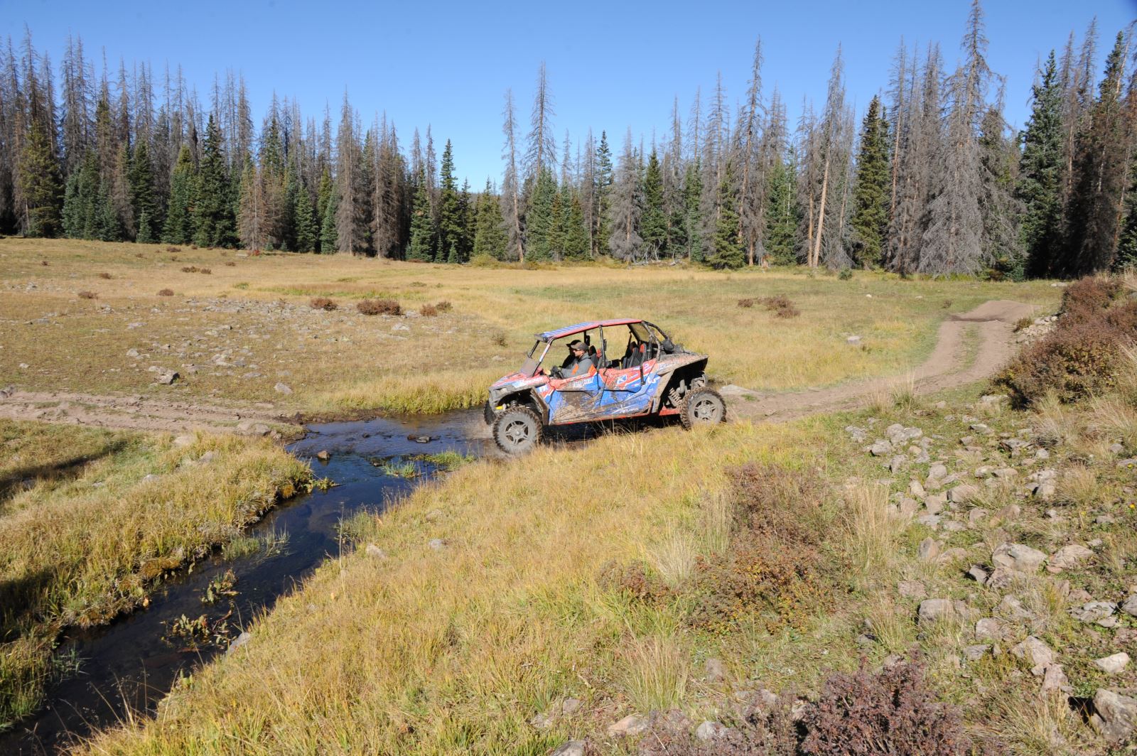
Figure 8
If you were to look at our day’s ride outlined on a map, it looks somewhat like a figure 8. There is one stretch of trail that we covered going and coming but the rest of the ride was new, unexplored trails for us.
We started the day on Forest Road 345 for a short distance, and then took Forest Road 350 and continued south before hooking up with Forest Road 359—both going south—and eventually ended up on Forest Road 360. We took a slight detour up to Poage Lake, a very scenic lake that sits at about 11,000 feet. It’s a short hike from the parking area to the lake but that short hike was fairly laborious thanks to the elevation.
We headed north on Forest Road 360, which skirts above Upper Beaver Meadow, another very beautiful natural area in the San Juans. At the northern junction of Forest Roads 360 and 359, we turned off on 359. It climbs fairly steadily and has a couple of switchbacks along with plenty of “character,” meaning it was a very fun stretch of trail with a mountain on one side and a drop off-on the other. When the trees opened up a little, we could see Beaver Creek Reservoir far below. Again, very scenic with mountains hemming it in on all sides.
The northern part of Forest Road 359 meets back up with Forest Road 350, where we turned back north, retracing our tracks from earlier in the day until we got to Forest Road 350.2B, which sometimes follows the terrain of the mountains and other times cuts across it as you drop in elevation from about 11,200 feet at the 350/350.2B junction to about 10,600 feet at the 350.2B/345 junction. It doesn’t seem like a lot of elevation change but it does add variety to the ride. The centerpiece of this stretch of road is Del Norte Peak, which towered above us at 12,400 feet.